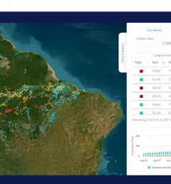
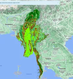
Ecosystem & Carbon Management
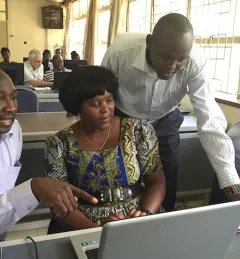
Map Validation with Collect Earth Online in Ecuador
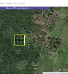
The Map Validation with Collect Earth Online (CEO) service enables more accurate forest monitoring data, which is necessary for the evaluation of public policy related to forest management.