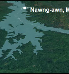
SERVIR tools supporting forest conservation in Mesoamerica
Deforestation is a critical issue in Mesoamerica and the Caribbean. SERVIR has developed two online mapping and analysis tools to help policymakers in these regions conserve forests.
135 results
Deforestation is a critical issue in Mesoamerica and the Caribbean. SERVIR has developed two online mapping and analysis tools to help policymakers in these regions conserve forests.
Recently, the SERVIR-Mekong team added three new tools to aid in the environmental monitoring of the Mekong River Basin.
From October 24-28, 2016, SERVIR team members from around the globe met in Pokhara, Nepal, for the 2nd SERVIR Annual Global Exchange (SAGE).
Landscapes on Earth are changing at unprecedented levels. For scientists, practitioners and environmental decision makers, tracking these changes efficiently and accurately is critical to protecting lives and livelihoods.
USAID's regional office in South America is inviting responses to a Request for Information (RFI) about SERVIR-Amazonia. Interested organizations and individuals are invited to provide information, opinions, and recommendations on approaches for the potential implementation of a SERVIR hub consortium in the Amazon region.
VAWR, which operates under Vietnam’s Ministry of Agriculture and Rural Development (MARD), is the leading institute for water resources, research and development within Vietnam.
Countries need accurate land cover data and methods for national-level monitoring of land cover changes and forest loss to inform forest management and policy.
With state-of-the art satellite remote sensing techniques, countries can conduct accurate forest inventories as well as map and monitor land use change.
The Regional Centre for Mapping of Resources for Development (RCMRD)/SERVIR-Eastern and Southern Africa (E&SA) hosted a week-long Training Workshop on the Variable Infiltration Capacity (VIC) Model and Bias Correction of Satellite Precipitation Data.
Read about how a partnership between SERVIR and Google continues to bring the power of Google Earth Engine (GEE) to the lower Mekong through trainings across the region.