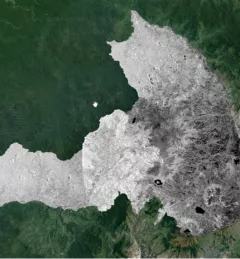
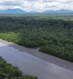
Landscape and Ecosystems Thematic Lead Interview -- Africa Flores
Africa Flores, Land Cover Land Use & Ecosystems Thematic Lead / SERVIR-Amazonia Science Coordination Lead for the NASA SERVIR Science Coordination Office, is profiled.
85 results
Africa Flores, Land Cover Land Use & Ecosystems Thematic Lead / SERVIR-Amazonia Science Coordination Lead for the NASA SERVIR Science Coordination Office, is profiled.
Issifou Alfari, Co-Chief of Party for AGRHYMET / SERVIR-West Africa, is profiled.
ICIMOD, ADPC, and CSRD are organizing a three-day Regional Knowledge Forum on Earth Observation and Climate Services for Food Security and Agricultural Decision Making in South and Southeast Asia, 8 – 10 October 2018.
Vietnam experienced one of its worst droughts in almost a century from 2015 to 2016, affecting over 2 million people in 52 provinces nationwide. Ninh Thuan, a province in south central Vietnam with a population of just over 600,000, was severely affected.
The ability to transform data into actionable information and obtain easily accessible, analysis-ready Earth observation (EO) data is often a critical missing link for decision makers in the developing world.
ICIMOD, under its SERVIR-Hindu Kush Himalaya (SERVIR-HKH) and Climate Services for Resilient Development (CSRD) Initiatives, is collaborating with technical organizations in the United States and meteorological and agricultural institutions in the HKH to establish a regional agricultural drought monitoring and early warning system.
To better understand and plan for future droughts in the region, SERVIR-Mekong approached the Vietnam Academy for Water Resources (VAWR) to develop a drought monitoring service.
After Afghanistan, Nepal, and Pakistan, the Regional Drought Monitoring and Outlook System extends its coverage to Bangladesh.
The Mapping with Radar in Imbabura service brings Synthetic Aperture Radar (SAR) and other remote sensing resources to map land cover of the province of Imbabura in Ecuador.
The Spatio-temporal monitoring of the mangrove ecosystem, in collaboration with the CIIFEN, generated a Google Earth Engine code to support the monitoring of mangrove change.