Ecosystem & Carbon Management
Supporting Climate Adaptation and Mitigation through Land Use/Land Cover Mapping in Myanmar
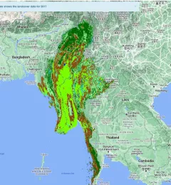
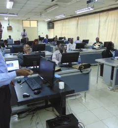
The Supporting Climate Adaptation and Mitigation in Myanmar service was a collaboration between SERVIR and Myanmar develop a National Land Cover Monitoring System, a web-based tool created using the cloud-based Google Earth Engine.