Articles & Stories
Landscape and Ecosystems Thematic Lead Interview -- Issifou Alfari
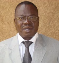
Issifou Alfari, Co-Chief of Party for AGRHYMET / SERVIR-West Africa, is profiled.

73 results
Issifou Alfari, Co-Chief of Party for AGRHYMET / SERVIR-West Africa, is profiled.
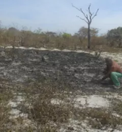
Firewood and charcoal provide more than 80 percent of energy used in sub-Saharan Africa, according to the World Agroforestry Centre, with only a small volume produced sustainably.
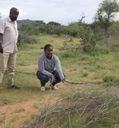
The extensive arid and semi-arid lands of northern Kenya are home to a variety of communities. Livelihoods are predominantly livestock based, with limited small-scale crop production. The productivity of the rangelands has been in decline, mainly due to poor management practices.
Understanding the patterns and causes of forest loss over time is important for sustainable land management and for assisting in decision-making for policy and enforcement activities.
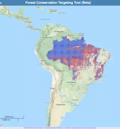
Forest deforestation and degradation in Latin America remains alarmingly high. One way to address this challenge is through the development of web-based monitoring and evaluation programs.
A team of six youth innovators called ‚“No Grant SMOG” won the first prize at Smogathon Thailand 2020 for inventing active-learning tools to educate elementary school children about smog.
|Wadee Deeprawat, SERVIR-Mekong/ADPC
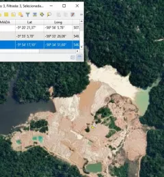
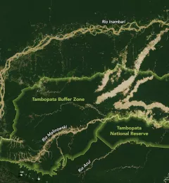
Monitoring of gold mining in the Brazilian Amazon is a service that aims to produce near real-time information on mining deforestation and activity in the Tapajos basin, State of Para.
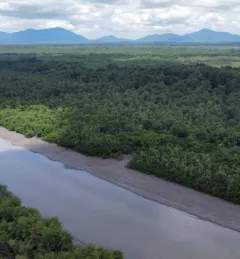
The Spatio-temporal monitoring of the mangrove ecosystem, in collaboration with the CIIFEN, generated a Google Earth Engine code to support the monitoring of mangrove change.

The Spatio-temporal monitoring of soil water erosion service, in collaboration with the Ecuadorian Ministry of Agriculture and Livestock (MAG), will generate a Google Earth Engine app to support the monitoring of soil water erosion and the analysis of its impact in the Ecuadorian Amazon basin.
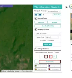
Users of Collect Earth Online (CEO) around the world are taking advantage of a CEO feature called the Geo-Dash Degradation Tool that allows them to monitor forest degradation, a major source of carbon emissions.