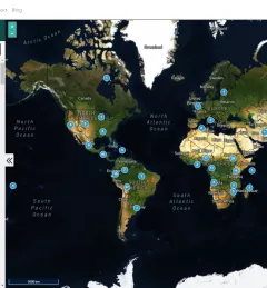
Ecosystem & Carbon Management
Monitoring of Mangroves in Ecuador
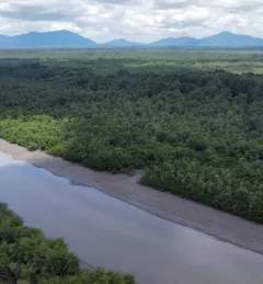
The Spatio-temporal monitoring of the mangrove ecosystem, in collaboration with the CIIFEN, generated a Google Earth Engine code to support the monitoring of mangrove change.