Fact Sheet
Fact Sheet: Monitoring Charcoal Production in Ghana
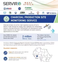
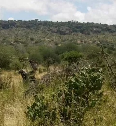
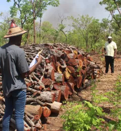
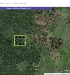
This fact sheet highlights how the Charcoal Production Site Monitoring Service is facilitating forest degradation monitoring of charcoal production sites in Ghana.