Articles & Stories
New Journal Publication Shows Paths Forward for Flood Early Action
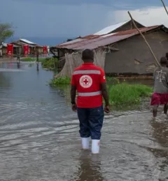
Disconnects between forecasters and decision-makers worldwide can often result in less efficient or effective flood response.