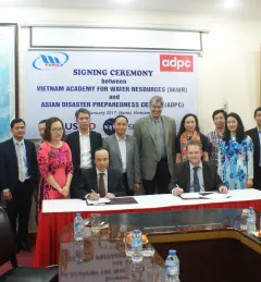
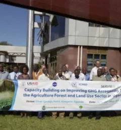
Use Case
Use Case: Vietnam Academy for Water Resources
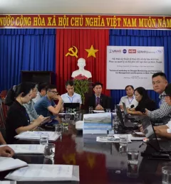
VAWR, which operates under Vietnam’s Ministry of Agriculture and Rural Development (MARD), is the leading institute for water resources, research and development within Vietnam.