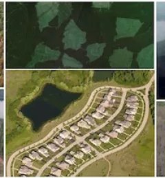
Ecosystem & Carbon Management
Resilient Forest Management in Nepal
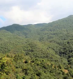
The Resilient Forest Management in Nepal is designed to assess the current state of forest ecosystems, identify the drivers of change, and explore suitable adaptation and mitigation measures.