Blog
Tracking the changing landscape of Eastern and Southern Africa
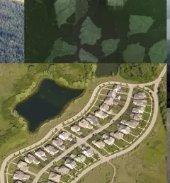
Countries need accurate land cover data and methods for national-level monitoring of land cover changes and forest loss to inform forest management and policy.