Strategy & Guidance
USAID Geospatial Strategy

USAID’s 2024-2028 Geospatial Strategy promotes leveraging the power of geospatial data and technology to target the delivery of international programs.

7 results
USAID’s 2024-2028 Geospatial Strategy promotes leveraging the power of geospatial data and technology to target the delivery of international programs.
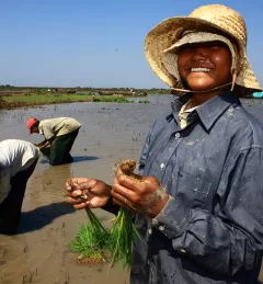
The Supporting Water Resources Management in Vietnam Service supported national agencies in assessing the impacts of climate change and basin development on water availability through a web-based integrated water resources model for basin management.
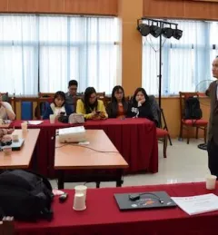
VAWR, which operates under Vietnam’s Ministry of Agriculture and Rural Development (MARD), is the leading institute for water resources, research and development within Vietnam.
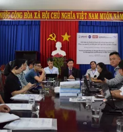
On March 23, as part of World Water Day under the theme Leaving No One Behind, SERVIR-Mekong convened a session on Earth Observations for Water Management at the Vietnam International Water Week in Hanoi, Vietnam.
|Wadee Deeprawat, SERVIR-Mekong/ADPC
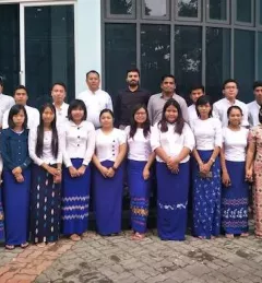
The Ayeyarwady River in Myanmar is one of the largest free-flowing rivers in the region and serves as the fulcrum around which Myanmar society and economy revolves.

More than 50 million people in Vietnam, Cambodia, Thailand, Laos, and Myanmar draw water for drinking and agriculture from the Mekong River.
|Jacob Ramthun, SERVIR Science Coordination Office

SERVIR improves local and regional capacity to provide tools, products, and services that empower decision makers to better address critical issues related to food security, water resources, natural disasters, land use, and extreme weather. Building on thirteen years of experience, SERVIR has grown in its geographical reach and has adapted its approach based on lessons learned.