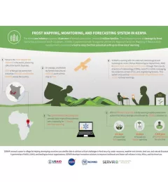
Infographic
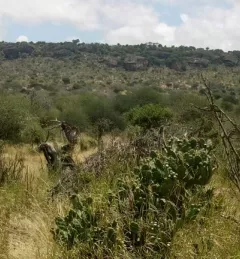
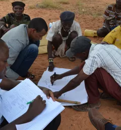
Kenya Invasive Species Mapper
Smartphone app simplified invasive species mapping in Kenya's north rangelands
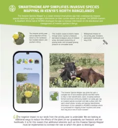
The Invasive Species Mapper is a citizen-science smartphone app that crowdsources invasive species detection to give managers information on their current extent and spread.