Articles & Stories
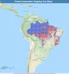
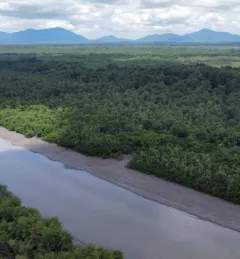
Mekong, Mumbai, and Beyond: Regionally-Developed Tool Expands to Support Global Forest Monitoring
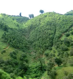
A new land cover tool originally developed for southeast Asia is now being expanded globally.