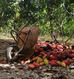
Ecosystem & Carbon Management
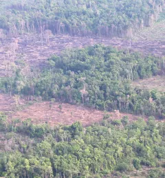
Monitoring of Gold Mining in the Peruvian Amazon
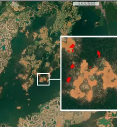
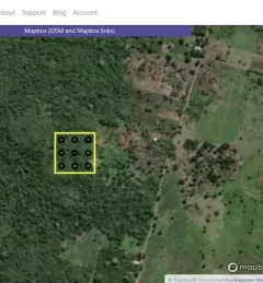
The Monitoring of Gold Mining in the Peruvian Amazon service produces near real-time information on deforestation and mining activity in the southern Peruvian Amazon.