
Crop Type Mapping and Condition Assessment in Senegal
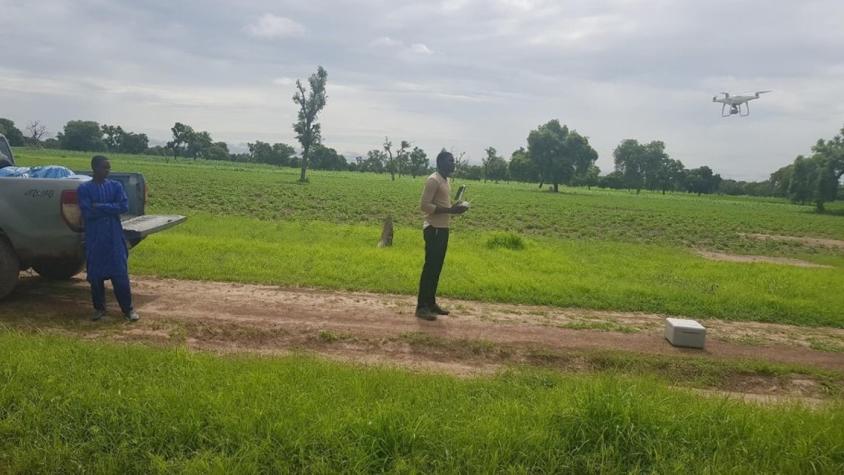
The Crop Type Mapping and Condition Assessment in Senegal service will develop tools for estimating crop yields and provide early warning of food insecurity throughout the sub-region using varied ecosystems in Senegal, which are representative of ecosystems found throughout West Africa. Using a combination of field survey and remotely sensed data, the service will focus on monitoring: crop type, crop area, crop condition, and yield estimation. The service will be piloted and prototyped for Senegal, with the plan to upscale the service to existing food security infrastructure in West Africa. The service builds off of the conceptual frameworks developed for similar SERVIR services in other regions, including the SERVIR Eastern & Southern Africa Regional Cropland Assessment and Monitoring Service.
Rationale
The focus countries of the Permanent Interstate Committee for Drought Control in the Sahel (CILSS) and West Africa more broadly have experienced a deterioration of cultivated areas due to a range of factors, including climate variability, environmental degradation, and population growth. The application of Earth observation data has the potential to help countries in the Sahel and West Africa improve their agricultural monitoring campaigns and potentially increase agricultural yields. The use of remotely sensed Earth observation data provides an opportunity to collect information on crop type and condition in a more efficient manner than solely via ground survey.
-
Users
Ministry of Agriculture and Rural Infrastructure
-
Learn more