
Sub-Seasonal to Seasonal Forecasting
This service focuses on the production of seasonal crop-related weather forecasts for improving the quality of products disseminated to end users such as farmers.
These models can support flood predictions, frost forecasting, and more. This service builds on work done in East Africa, where the NASA Short-term Prediction Research and Transition (SPoRT) Centre, through SERVIR, has been working with regional forecasters to enhance weather forecast accuracy.
For example, SPoRT/SERVIR helped the Kenya Meteorological Service (KMS) incorporate NASA satellite-based data into their weather prediction model. The KMS now incorporates the Land Information Systems (LIS) and Visible Infrared Imager Radiometer Suite (VIIRS) Green Vegetation Fraction (GVF) datasets into their WRF Unified Environmental Modelling System (UEMS). Building on that approach, such methods are being replicated in West Africa.
Rationale
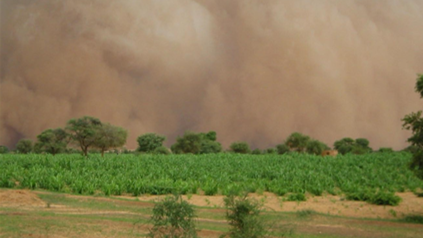
The increase of extreme meteorological and climatic phenomena such as droughts, floods, coastal erosion, and land degradation is having a negative impact on agro-sylvo-pastoral production systems. Accurate and timely weather model outputs are key to weather-related disaster preparedness. Seasonal forecasts can help inform farmers when to plant and harvest crops. AGRHYMET thus wants to develop sub-seasonal forecasts that bridge the gap between medium-range weather forecasts (up to 10 days) and seasonal climate predictions (above a month). Sub-seasonal forecasts provide forecast information on the 1–4-week timescale and can help optimize agricultural production and reduce farmer vulnerability to climate-related disasters.
-
Users
-
Tools