
Using open-source remote sensing data and tools to monitor forest carbon in Bangladesh
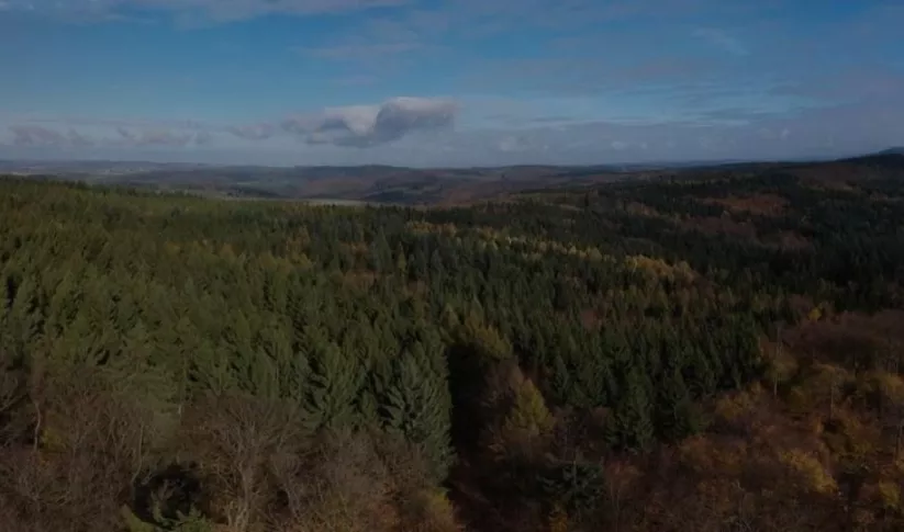
As storehouses for carbon, forests need to be conserved in order for effective climate mitigation to be achieved. In this regard, forest conservation is also essential for countries aiming to meet the emission goals and targets set by international protocols and agreements.
However, conducting conventional forest inventories and field-based measurements to quantify carbon stocks or estimate forest biomass is resource-intensive, time-consuming, and costly. Remote sensing tools can help overcome these problems. A viable option is synthetic aperture radar (SAR) remote sensing, which is equipped with cloud-penetrating capabilities. SAR can effectively measure and monitor forest biomass and forest carbon at national scales, particularly in tropical regions.
Forest carbon monitoring efforts in Bangladesh
The Bangladesh Forest Department (BFD) is working on establishing an accurate baseline of aboveground forest carbon in the country to help monitor future changes in forest carbon. This will also help Bangladesh avail of opportunities from REDD+, a global instrument for climate mitigation that requires participating countries to provide accurate carbon stock estimates for economic incentives.
The SERVIR HKH hub at the International Centre for Integrated Mountain Development (ICIMOD) has been supporting BFD in adopting new technologies like SAR to monitor forest cover and estimate forest carbon, and training them in their use. The hub is also working with BFD in customizing the Regional Land Cover Monitoring System (RLCMS) to cater to Bangladesh’s national needs.
SAR training for foresters
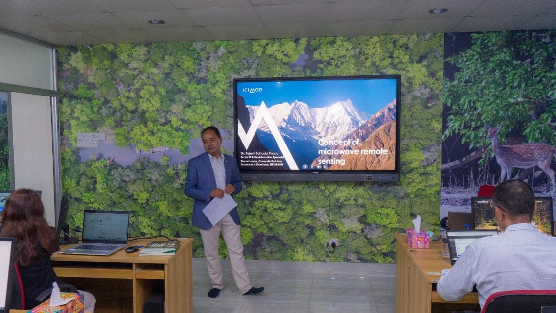
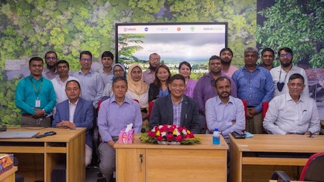
In March 2022, SERVIR HKH organized a training for 11 BFD professionals – three of them women – at the department campus in Dhaka on the use of SAR for measuring and monitoring forest carbon. Sajana Maharjan, Remote Sensing and Geoinformation Analyst at ICIMOD, said, “As a resource person, I was delighted to be part of a capacity building programme that enables individuals and institutions to adopt and implement Earth observation technology in their daily work.”
Over the course of five days, the trainers provided theoretical and practical knowledge of SAR data and its applications in estimating aboveground forest biomass and forest carbon. The training introduced microwave remote sensing, polarimetric SAR and its benefits, the different SAR missions, and SAR applications used in aboveground forest biomass estimation. Its practical sessions focused on installing the required software and providing participants with a walkthrough on downloading SAR data – Sentinel 1A and ALOS PALSAR mosaic datasets from open access hubs.
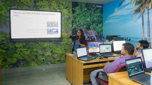
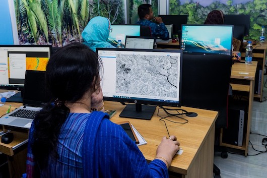
Later, participants delved into using open SAR data, software, and tools; image pre-processing, stacking, and visualization; image colour interpretation with field data; information extraction, interpretation, and analysis; and building a forest carbon model. While a few of the participants knew the basics of remote sensing (RS) and Geographic Information System (GIS) prior to the training, they had not been able to use such knowledge in their daily work. Some participants had worked with remote sensing data. However, SAR was completely new for them.
Bringing participants of different age groups, academic and professional backgrounds, and varied technical skills and competencies on the same page was a bit challenging. However, participants actively engaged in all sessions, exhibited a high level of enthusiasm, and contextualized the learning from the training in their real work. Furthermore, they sought solutions to such problems. An active learning atmosphere and plenty of interactions with and among participants helped clear concepts further.
Speaking to the value SAR adds to remotely monitoring forest carbon data, Md. Tauhidor Rahaman, a forester, said, “Obtaining cloud-free data is a real limitation in remote sensing analysis. SAR can help overcome this and could enable a new era of forest management in Bangladesh.”
Going forward
SERVIR HKH plans to organize a follow-on training for the 11 participants to discuss the results obtained from their study and improve the forest carbon model further. Towards the end of the March 2022 training, they had formed four groups, with each undertaking one using BFD’s forest inventory data. The groups have agreed to communicate with the resource persons for any additional guidance they might need. The hub looks forward to taking this work further in Bangladesh.
Written by Sajana Maharjan of SERVIR HKH/ICIMOD. This article was originally featured on SERVIR HKH's website. View the original post.

-
Estimating Forest Stand Height (FSH) with Synthetic Aperture Radar (SAR)
Synthetic Aperture Radar (SAR) is a useful technology for monitoring forests and estimating biomass since it provides information complementary to optical sensors, such as vegetation structur
-
SAR Handbook
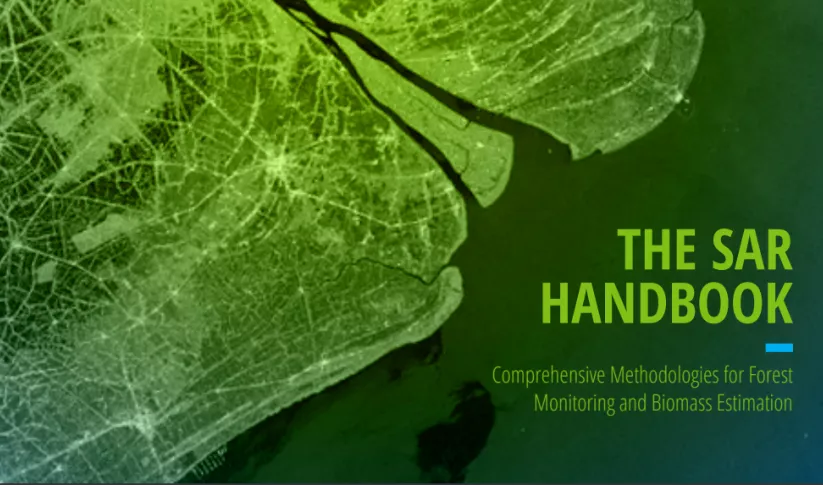
The SAR Handbook: Comprehensive Methodologies for Forest Monitoring and Biomass Estimation is the culmination of a two-year collaboration between NASA SERVIR and SilvaCarbon.

