Articles & Stories SERVIR Profile of Nguyen Hanh Quyen Meet Nguyen Hanh Quyen, Remote Sensing Officer for ADPC/SERVIR-Mekong. December 6, 2017
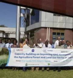
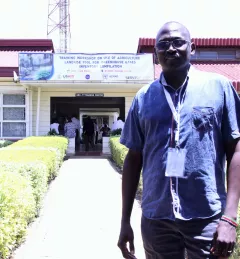
Articles & Stories Using Earth Observations to account for Greenhouse Gas emissions in Uganda SERVIR has been strongly supporting the use of Earth observation technologies by countries in Eastern and Southern Africa to account for greenhouse gas (GHG) emissions. July 6, 2017
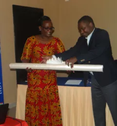
Articles & Stories World Bank and SERVIR working together to map for Natural Capital Accounting in Rwanda SERVIR-Eastern and Southern Africa (E&SA) at the Regional Centre for Mapping of Resources for Development (RCMRD), together with the government of Rwanda, recently released new 2015 land cover maps, disseminating them during a workshop in May 2017 in Kigali. June 22, 2017
Events Webinar on Remote Sensing for Forest Change Detection In the context of the U.S. Agency for International Development (USAID)-funded SilvaCarbon initiative, the US Forest Service (USFS) will be hosting a webinar to introduce an online training course on Remote Sensing for Forest Cover Change Detection using freely available, open source software (QGIS and Google Earth Engine). April 14, 2017
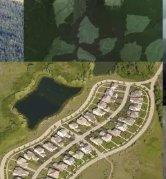
Articles & Stories Adding new tools for tracking a changing landscape Monitoring land cover change over time is essential to understanding ecosystem health, biodiversity, forest carbon cycling, and much more. Land cover/land use (LCLU) data and maps are critical components for climate monitoring applications such as Greenhouse Gas (GHG) emissions reports. March 23, 2017