Strategy & Guidance USAID Geospatial Strategy USAID’s 2024-2028 Geospatial Strategy promotes leveraging the power of geospatial data and technology to target the delivery of international programs. November 15, 2023
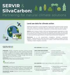
Fact Sheet SERVIR & SilvaCarbon Partnering for natural climate solutions SilvaCarbon is an important collaborator with SERVIR. February 11, 2022
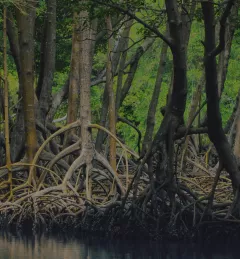
Training Mapping and Monitoring Mangroves using Google Earth Engine A Virtual Workshop hosted by SERVIR Amazonia This workshop is the third in a series offered by SERVIR Amazonia focused on using remote sensing to monitor mangroves in Guyana. December 15, 2020
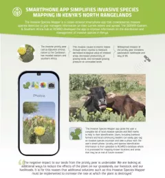
Infographic Kenya Invasive Species Mapper Smartphone app simplified invasive species mapping in Kenya's north rangelands The Invasive Species Mapper is a citizen-science smartphone app that crowdsources invasive species detection to give managers information on their current extent and spread.