Strategy & Guidance USAID Geospatial Strategy USAID’s 2024-2028 Geospatial Strategy promotes leveraging the power of geospatial data and technology to target the delivery of international programs. November 15, 2023
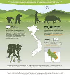
Infographic Enhancing Drought Resilience in Vietnam Droughts in the Lower Mekong region cause significant environmental and economic impacts, including loss in agricultural productivity and decreased food and water security. January 13, 2021
Training Mapping and Monitoring Mangroves using Google Earth Engine A Virtual Workshop hosted by SERVIR Amazonia This workshop is the third in a series offered by SERVIR Amazonia focused on using remote sensing to monitor mangroves in Guyana. December 15, 2020
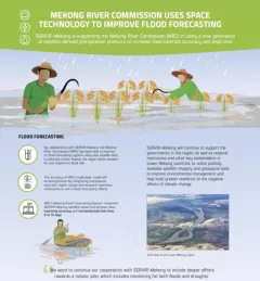
Infographic Mekong River Commission Uses Space Technology to Improve Flood Forecasting SERVIR-Mekong is supporting the Mekong River Commission (MRC) in using a new generation of satellite-derived precipitation products to increase flood forecast accuracy and lead time. December 13, 2020
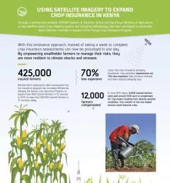
Infographic Using Satellite Imagery to Expand Crop Insurance in Kenya Through a partnership between SERVIR Eastern & Southern Africa and the Kenya Ministry of Agriculture, a new satellite-based crop mapping system and sampling methodology was developed to streaml October 23, 2020