Strategy & Guidance USAID Geospatial Strategy USAID’s 2024-2028 Geospatial Strategy promotes leveraging the power of geospatial data and technology to target the delivery of international programs. November 15, 2023
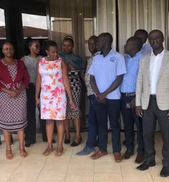
Use Case Use Case: Uganda Directorate of Water Resources Management The Uganda Directorate of Water Resources Management manages and develops Uganda’s water resources in an integrated and sustainable manner. January 20, 2022
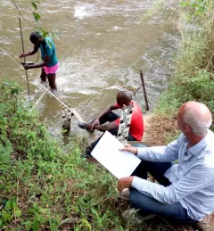
Use Case Use Case: E-link Consult Limited E-link Consult Limited is an environmental consultancy firm based in Tanzania with experience in natural resources assessment and management, socioeconomic analysis, forestry assessment, agriculture, food security, livelihoods analysis, and climate change adaptation and mitigation. November 20, 2021
Report SERVIR Service Planning in Action Case Studies from Demand-Driven Geospatial Services This collection of case studies is a companion to the SERVIR Service Planning Toolkit. It provides concrete examples from SERVIR’s experience, and that of our partners, applying the Service Planning approach. May 5, 2021
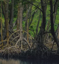
Training Mapping and Monitoring Mangroves using Google Earth Engine A Virtual Workshop hosted by SERVIR Amazonia This workshop is the third in a series offered by SERVIR Amazonia focused on using remote sensing to monitor mangroves in Guyana. December 15, 2020