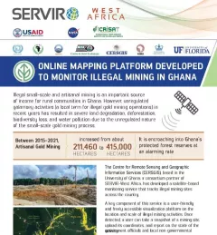
Fact Sheet Fact Sheet: Online Mapping to Fight Illegal Mining in Ghana This fact sheet highlights efforts to monitor illegal mining in Ghana. December 23, 2020
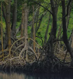
Training Mapping and Monitoring Mangroves using Google Earth Engine A Virtual Workshop hosted by SERVIR Amazonia This workshop is the third in a series offered by SERVIR Amazonia focused on using remote sensing to monitor mangroves in Guyana. December 15, 2020
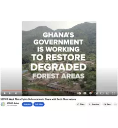
Video Video: Fighting Deforestation in Ghana with Earth Observations Ghana is home to some of the most biodiverse and carbon-dense forests in the world. But more than a third of them have been lost in recent decades. August 14, 2020
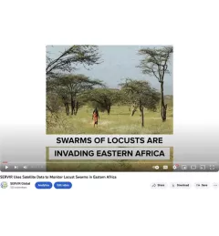
Video Video: Using Satellite Data to Monitor Locust Swarms in Eastern Africa SERVIR Global is using NASA satellites to guide USAID and FAO resources on the ground to fight locusts in east Africa. August 14, 2020
Tool SAR Handbook Comprehensive Methodologies for Forest Monitoring and Biomass Estimation The SAR Handbook: Comprehensive Methodologies for Forest Monitoring and Biomass Estimation is the culmination of a two-year collaboration between NASA SERVIR and SilvaCarbon. April 9, 2019