Infographic
SERVIR's Service Approach

SERIR uses a "service" approach to identifying and addressing climate challenges.

28 results
SERIR uses a "service" approach to identifying and addressing climate challenges.
The U.S. Forest Service is hosting webinars to introduce an online training course on Remote Sensing for Forest Cover Change Detection. This activity comes as part of the USAID-funded SilvaCarbon initiative.
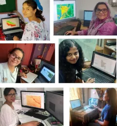
Since 2018, SERVIR has conducted 12 training programs for young and early-career women in geospatial information technology (GIT), reaching 1,490 women across the region. The training focuses on using technologies to collect, store, analyze, and visualize spatial or geographic data about observing the Earth’s surface and human activity. Participants learn about key concepts and how to use applications that depend on EO data and GIT.
|Jaber Hassan and Poonam Tripathi, SERVIR HKH
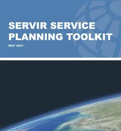
The Service Planning Toolkit is a resource for SERVIR Hubs and their partners to implement SERVIR's service planning approach.
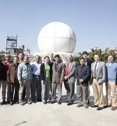
Several NASA representatives visited SERVIR-Himalaya at the International Center for Integrated Mountain Development (ICIMOD) last week to discuss current and prospective areas for collaboration with ICIMOD and view demonstrations of several SERVIR-Himalaya online applications.
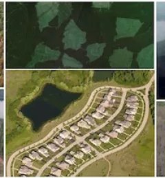
Forested areas are important to our planet's health because they take in large amounts of carbon and release oxygen. When forests are removed or degraded, less carbon is taken from the atmosphere, and the result is increased carbon emissions, which may hasten climate change and increase its impact.
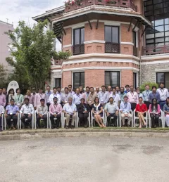
SERVIR-Himalaya hosted the first 2015 SERVIR Hub Exchange, 10-13 March 2015, in Kathmandu, Nepal, bringing together SERVIR team members from around the globe.
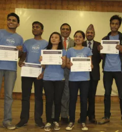
The NASA International Space Apps Challenge is an international mass collaboration engaging developers, Geographic Information System (GIS)-savvy students, engineering students, and entrepreneurs to work together on solving challenges relevant to improving life on Earth and in space.
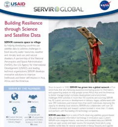
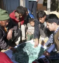
Working in developing countries around the world, SERVIR seeks to incorporate regional knowledge and perspectives to best meet end user needs in addressing issues such as flood forecasting, forest fire management, landslide hazard, agricultural monitoring, and biomass estimation.