Ecosystem & Carbon Management
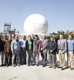
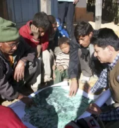
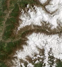
Regional Land Cover Monitoring System - Hindu Kush Himalaya
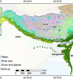
SERVIR-HKH has developed land cover monitoring systems with a modular architecture built on the Google Earth Engine (GEE) computational platform.