Infographic
SERVIR's Service Approach

SERIR uses a "service" approach to identifying and addressing climate challenges.

6 results
SERIR uses a "service" approach to identifying and addressing climate challenges.
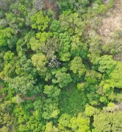
Rainforests are some of Earth’s most vulnerable ecosystems, but also some of the most difficult to monitor. With support from SERVIR, experts in Costa Rica are increasingly using radar to see through the clouds that make rainforests so hard to study. What they learn may help guide other countries in the future.
|Jacob Ramthun and Lena Pransky, NASA Science Coordination Office
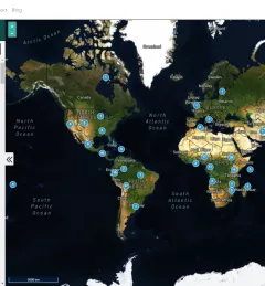
Collect Earth Online is a custom built, open-source, satellite image viewing and interpretation system developed by SERVIR, FAO, and other partners as a tool for use in projects that require land cover and/or land use data.

SERVIR improves local and regional capacity to provide tools, products, and services that empower decision makers to better address critical issues related to food security, water resources, natural disasters, land use, and extreme weather. Building on thirteen years of experience, SERVIR has grown in its geographical reach and has adapted its approach based on lessons learned.
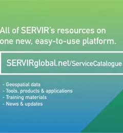
The newly-launched SERVIR Service Catalogue is improving access to geospatial services to inform decision making and improve resilience in critical areas like food security, water management, disaster resilience, and sustainable land and ecosystem management.
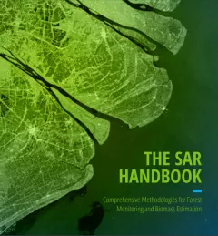
The SAR Handbook: Comprehensive Methodologies for Forest Monitoring and Biomass Estimation is the culmination of a two-year collaboration between NASA SERVIR and SilvaCarbon.