Fact Sheet
Factsheet: Mekong Regional Land Cover Monitoring System (RLCMS)
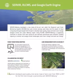
SERVIR, RLCMS, and Google Earth Engine

3 results
Countries need accurate land cover data and methods for national-level monitoring of land cover changes and forest loss to inform forest management and policy.
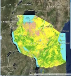
To sustainably manage forest landscapes, governments and decision makers need accurate and up-to-date information on the extent of the forests they manage and the ways they are changing.