Articles & Stories
Serving Governments' Climate Data Needs

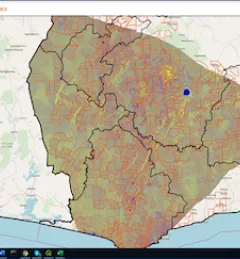
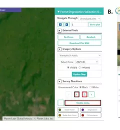
SERVIR's service planning approach brings partners, stakeholders, and end users into the design process from the very beginning, even before solutions are discussed.