Articles & Stories
SERVIR Profile of Abena Boatemaa Asare-Ansah
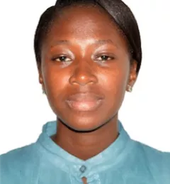
Meet Abena Boatemaa Asare-Ansah, an intern for SERVIR-West Africa/Centre for Remote Sensing & Geographic Information Services (CERSGIS).