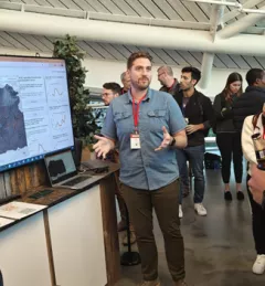
Video
Video: Fighting Deforestation in Ghana with Earth Observations
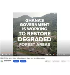
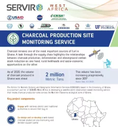
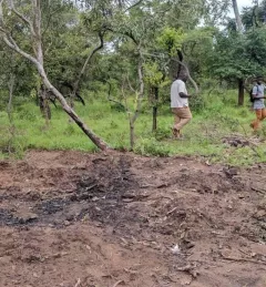
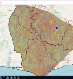
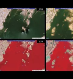
Ghana is home to some of the most biodiverse and carbon-dense forests in the world. But more than a third of them have been lost in recent decades.