Articles & Stories
New drought monitoring system will reduce climate risks for South Asian farmers
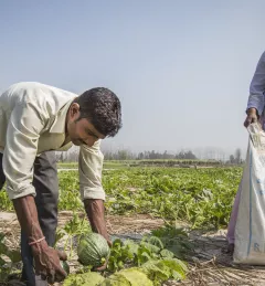
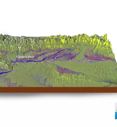
After Afghanistan, Nepal, and Pakistan, the Regional Drought Monitoring and Outlook System extends its coverage to Bangladesh.
![SHUKLA_Shrad_photo[1].jpeg](/sites/default/files/styles/card_flag/public/article/image/SERVIR-HKH_thematic_illustration.jpg.webp?itok=isSkllDk)