Regional Hub
Eastern and Southern Africa
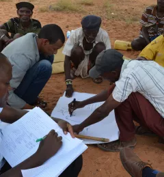
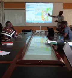
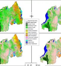
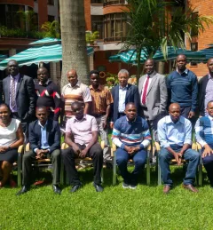
From 2008 - 2023, SERVIR Eastern and Southern Africa developed a diverse collection of user-tailored geospatial services that use Earth observations and NASA data to inform resilient development in