Regional Hub
West Africa
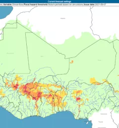
SERVIR West Africa promotes the use of publicly available satellite imagery and related geospatial tools and products to help key stakeholders and decision makers in the region make more informed d