Articles & Stories
Tracking Peruvian Forest Loss from Space
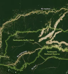
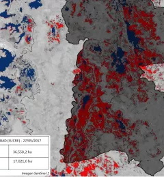
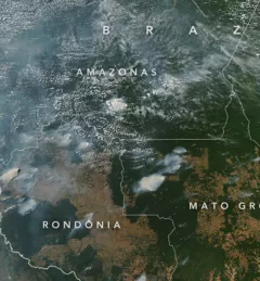
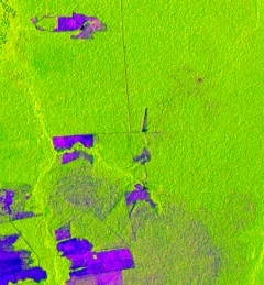
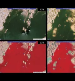
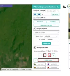
Understanding the patterns and causes of forest loss over time is important for sustainable land management and for assisting in decision-making for policy and enforcement activities.