Ecosystem & Carbon Management
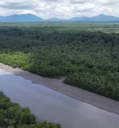
Mapping with Radar with Imbabura
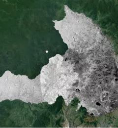
The Mapping with Radar in Imbabura service brings Synthetic Aperture Radar (SAR) and other remote sensing resources to map land cover of the province of Imbabura in Ecuador.