Brochure
Brochure: How SERVIR Amazonia is Connecting Space to Village
Geospatial information for improved environmental decision making in the Amazon
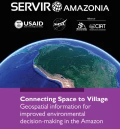
This brochure provides an overview about SERVIR Amazonia.