Regional Hub
Amazonia
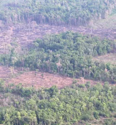
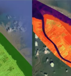
SERVIR Amazonia, an initiative of USAID and NASA, addresses environmental and development challenges across the Amazon Basin using state-of-the-art geospatial technologies. The