Video
Streamflow Monitoring, Enhancing Flood Early Warning Services, and High Impact Weather Assessment

34 results
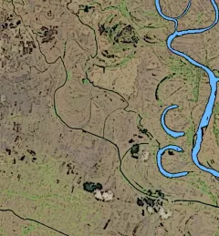
The Mitigating Impacts and Increasing Benefits from Changing River Courses in Myanmar service supported national agencies in monitoring changing river courses and planning riverbank protection measures to mitigate localized impacts to infrastructure.
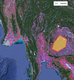
The Monitoring Extreme Weather in the Hindu Kush Himalaya (HKH) service provides a customized numerical weather prediction toolkit to assess high impact convective weather events over the HKH region.
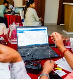
Through the Supporting Flood Emergency Preparedness for Myanmar Service, SERVIR Mekong co-developed and supported the use of a systematic decision-support tool for the Myanmar Department of Disaster Management to identify areas with high flood risk.
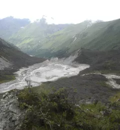
On 28 June 2015, around 7 pm local time, a yak herder in Bhutan witnessed an alarming spectacle: a glacial lake outburst flood, or GLOF. He looked on as water from Lemthang Tsho (Memari) Lake, which had filled beyond capacity, burst over its embankment.
Recently, the SERVIR-Mekong team added three new tools to aid in the environmental monitoring of the Mekong River Basin.
Read about how a partnership between SERVIR and Google continues to bring the power of Google Earth Engine (GEE) to the lower Mekong through trainings across the region.
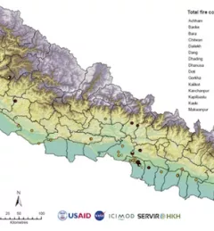
Forest fires have adverse ecological and economic effects and are a major concern in many countries, including Nepal. During the long, dry summers, Nepal experiences many forest fires. In 2016, a record number of fires were reported killing 15 people and consuming an area of 13,000 square kilometers (1.3 hectares) in the span of just two weeks.
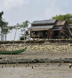
Changes in river morphology including floods, erosion, and landslides are affecting ecosystem habitats and the lives and livelihoods of communities living along Myanmar's rivers. SERVIR-Mekong is using satellite-based monitoring tools to support Myanmar agencies and communities to manage the risks better.
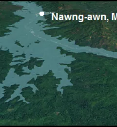
The Ayeyarwady River in Myanmar is one of the largest free-flowing rivers in the region and serves as the fulcrum around which Myanmar society and economy revolves.