Fact Sheet
Factsheet: Mekong Regional Land Cover Monitoring System (RLCMS)
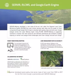
SERVIR, RLCMS, and Google Earth Engine

5 results
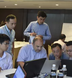
SERVIR-Mekong, along with SilvaCarbon, the US Forest Service and SIG, hosted a Google Earth Engine Training and a second workshop for the Regional Land Cover Monitoring System from 7-14 July 2016.
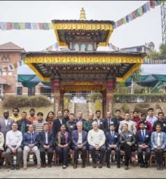
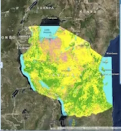
The crucial role forests play in our world cannot be underestimated. To enhance preservation and monitoring of this natural resource, SERVIR and SilvaCarbon launched a series of global workshops this year in West Africa, Eastern and Southern Africa, Hindu-Kush Himalaya, and the Lower Mekong region on Synthetic Aperture Radar (SAR) applications.
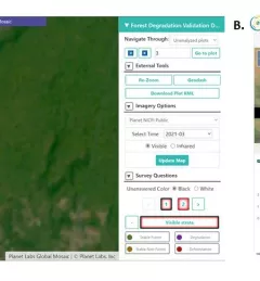
Users of Collect Earth Online (CEO) around the world are taking advantage of a CEO feature called the Geo-Dash Degradation Tool that allows them to monitor forest degradation, a major source of carbon emissions.
To sustainably manage forest landscapes, governments and decision makers need accurate and up-to-date information on the extent of the forests they manage and the ways they are changing.