Brochure
SERVIR Global Overview
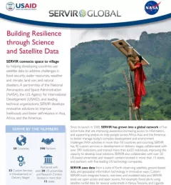
Building Resilience through Science and Satellite Data

66 results
Enhancing Anticipatory Actions for Disaster and Climate Resilience aims to reduce the loss of lives and damage to properties and crops from floods and droughts by improving early warnings using satellite data and geospatial information.
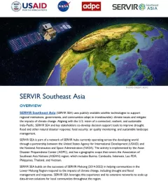
This fact sheet outlines how the SERVIR Southeast Asia (SEA) Regional Hub uses publicly available satellite technologies to support regional institutions, governments, and communities adapt to transboundary climate issues and mitigate the impacts of climate change.
The U.S. Forest Service is hosting webinars to introduce an online training course on Remote Sensing for Forest Cover Change Detection. This activity comes as part of the USAID-funded SilvaCarbon initiative.
SERVIR Southeast Asia (SERVIR SEA) uses publicly available satellite data to address climate change and sustainable development challenges. SERVIR SEA co-develops decision supp
The 54th annual Earth Day is on April 22, 2024. To mark the occasion, SERVIR colleagues across the globe share their reflections on caring for the Earth, climate change and other environmental issues.

ClimateSERV is a web-accessible system that allows users to access, visualize, and analyze historical Earth observations useful to decision-making across multiple sectors.
The Service Planning Toolkit is a resource for SERVIR Hubs and their partners to implement SERVIR's service planning approach.
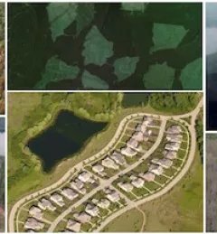
Collect Earth Online is a custom built, open-source, satellite image viewing and interpretation system developed by SERVIR, FAO, and other partners as a tool for use in projects that require land cover and/or land use data.
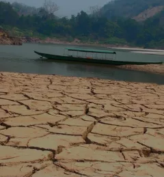
The Enhancing Drought Resilience and Crop Yield Security for the Lower Mekong Service provides drought nowcasts and forecasts at the regional level in the Lower Mekong Region and provincial level in Vietnam using hydrological and crop model information.