Fact Sheet
Factsheet: Mekong Regional Land Cover Monitoring System (RLCMS)
SERVIR, RLCMS, and Google Earth Engine

4 results
This collection of case studies is a companion to the SERVIR Service Planning Toolkit. It provides concrete examples from SERVIR’s experience, and that of our partners, applying the Service Planning approach.
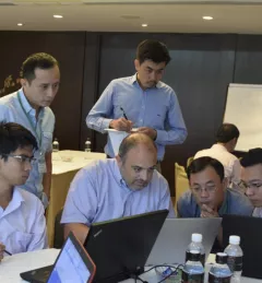
SERVIR-Mekong, along with SilvaCarbon, the US Forest Service and SIG, hosted a Google Earth Engine Training and a second workshop for the Regional Land Cover Monitoring System from 7-14 July 2016.
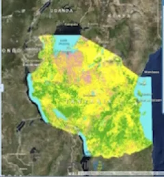
To sustainably manage forest landscapes, governments and decision makers need accurate and up-to-date information on the extent of the forests they manage and the ways they are changing.