Infographic
SERVIR's Service Approach

SERIR uses a "service" approach to identifying and addressing climate challenges.

157 results
SERIR uses a "service" approach to identifying and addressing climate challenges.
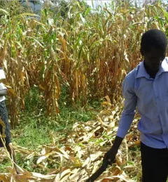
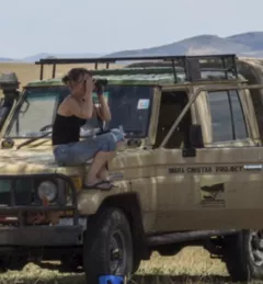
Kenya’s Ministry of Agriculture is collaborating with USAID and NASA to use satellite tools that expand their understanding of the climate-related challenges that farmers are facing.
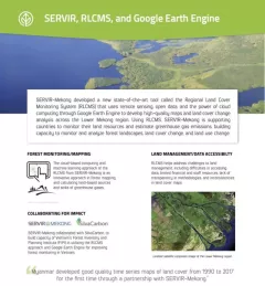
|Lena Pransky and Jacob Ramthun, NASA Science Coordination Office
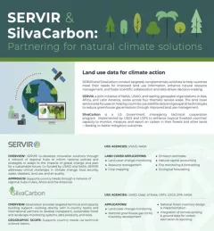
SilvaCarbon is an important collaborator with SERVIR.
The Monitoring Forest Dynamics to Enable Biodiversity Conservation in the Amazon service - now completed - helped introduce "TerraBio," a monitoring tool to assess the impact of private sector engagement on biodiversity conservation in the Amazon.
The U.S. Forest Service is hosting webinars to introduce an online training course on Remote Sensing for Forest Cover Change Detection. This activity comes as part of the USAID-funded SilvaCarbon initiative.

USAID’s 2024-2028 Geospatial Strategy promotes leveraging the power of geospatial data and technology to target the delivery of international programs.
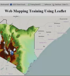
The Web has changed every aspect of our lives, from daily events to professional undertakings such as work related activities. Geographic Information Systems (GIS) – tools that enable us to manipulate the geographic aspects of data – have also been affected by web technology.
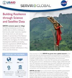
|Patrick Kabatha, RCMRD/SERVIR
This guide was developed to accompany the materials provided for the SERVIR AST funded project, "Forest carbon assessment for REDD+ in East Africa SERVIR region."