Articles & Stories
Making Forecasts a Breeze
NASA supports local experts around the world to help their communities access and use weather and climate information.

14 results
NASA supports local experts around the world to help their communities access and use weather and climate information.
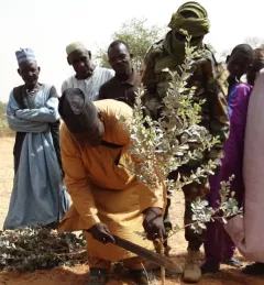
This service supports Farmer Managed Natural Regeneration (FMNR), is a low-cost land restoration technique used to combat poverty, hunger, and Sahara desert encroachments amongst low-income farmers by increasing ecosystem services; and resilience to climate extremes.
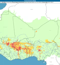
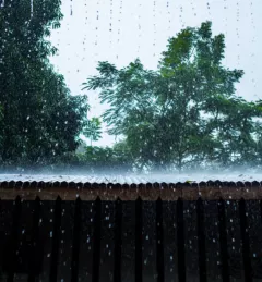
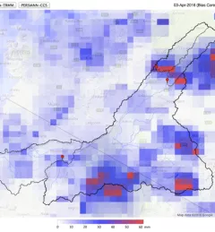
The Flash Flood Vulnerability Mapping service focuses on improving flash flood vulnerability mapping and early assessments of the potential socioeconomic impacts of anticipated floods.
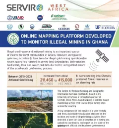
This fact sheet highlights efforts to monitor illegal mining in Ghana.
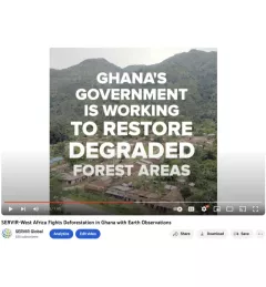
Ghana is home to some of the most biodiverse and carbon-dense forests in the world. But more than a third of them have been lost in recent decades.
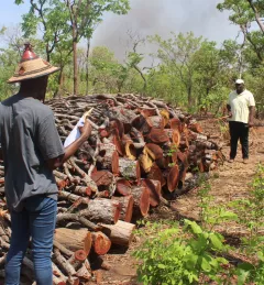
The Charcoal Production Site Monitoring Service is a web-based platform for visualizing the spatial distribution of charcoal production sites, thereby facilitating forest degradation monitoring in the study areas.
With floods and droughts as two of the most catastrophic natural disasters in the regions it serves, SERVIR strives to be on the cutting edge in addressing challenges related to water.
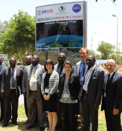
On July 14, 2016, NASA and the U.S. Agency for International Development (USAID) launched SERVIR-West Africa, a joint project to strengthen environmental monitoring in West Africa.
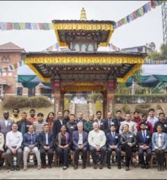
The crucial role forests play in our world cannot be underestimated. To enhance preservation and monitoring of this natural resource, SERVIR and SilvaCarbon launched a series of global workshops this year in West Africa, Eastern and Southern Africa, Hindu-Kush Himalaya, and the Lower Mekong region on Synthetic Aperture Radar (SAR) applications.

Issifou Alfari, Co-Chief of Party for AGRHYMET / SERVIR-West Africa, is profiled.