Articles & Stories
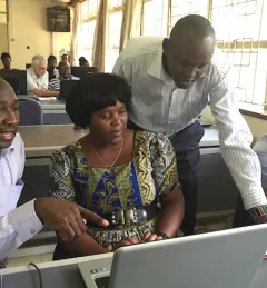
SERVIR Applied Sciences Team helping African countries track and protect forests
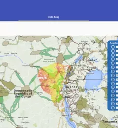
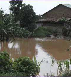
With a growing population, increased demand for agricultural land and fuel wood are depleting Africa's forests.