Articles & Stories
Making Forecasts a Breeze
NASA supports local experts around the world to help their communities access and use weather and climate information.

23 results
NASA supports local experts around the world to help their communities access and use weather and climate information.
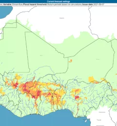
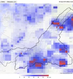
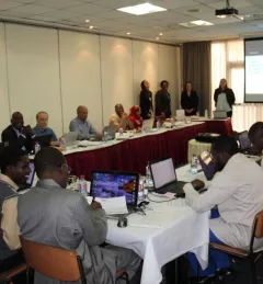
The Flash Flood Vulnerability Mapping service focuses on improving flash flood vulnerability mapping and early assessments of the potential socioeconomic impacts of anticipated floods.
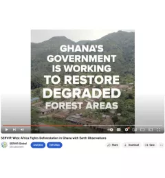
Ghana is home to some of the most biodiverse and carbon-dense forests in the world. But more than a third of them have been lost in recent decades.
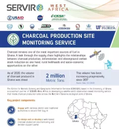
This fact sheet highlights how the Charcoal Production Site Monitoring Service is facilitating forest degradation monitoring of charcoal production sites in Ghana.
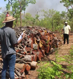
The Charcoal Production Site Monitoring Service is a web-based platform for visualizing the spatial distribution of charcoal production sites, thereby facilitating forest degradation monitoring in the study areas.
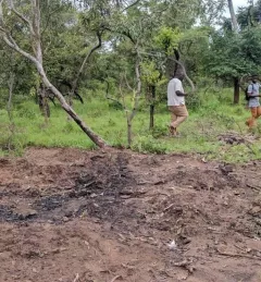
A Rocha Ghana (ARG) is an established environmental organization in Ghana that helps communities adapt to their changing natural environments. It currently works in the West Gonja District in northern Ghana where charcoal production is widespread.
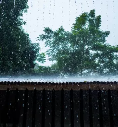
With floods and droughts as two of the most catastrophic natural disasters in the regions it serves, SERVIR strives to be on the cutting edge in addressing challenges related to water.
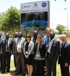
On July 14, 2016, NASA and the U.S. Agency for International Development (USAID) launched SERVIR-West Africa, a joint project to strengthen environmental monitoring in West Africa.
How does one leverage the latest scientific and technological advances to place the power of the Cloud and Earth observations (EO) at the fingertips of researchers based in dynamically changing countries?

Meet Rebekke Muench, West Africa Regional Science Associate for the NASA SERVIR Science Coordination Office.