Articles & Stories
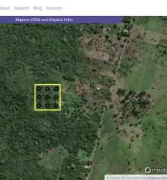
Collect Earth Online helps fight illegal mining in Amazon
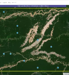
Collect Earth Online (CEO) is helping to stop illegal mining in the Peruvian Amazon, protecting primary forests and the indigenous communities who live in the region.