Agriculture & Food Security
Frost Monitoring and Forecasting Service
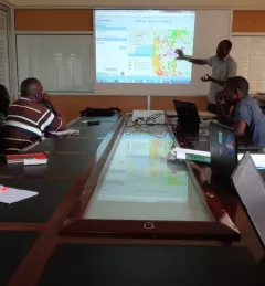
The Frost Monitoring and Forecasting service provides timely information on the current and future probability of a frost occurrence to help farmers in the Kenyan highlands prepare and reduce crop losses.