Ecosystem & Carbon Management
Mapping Soil Fertility in Ecuador
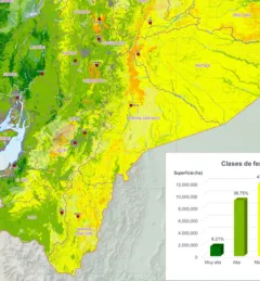
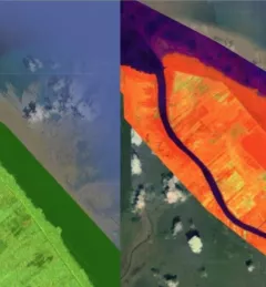
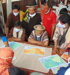
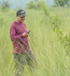
The Mapping Soil Fertility in Ecuador service, in collaboration with the Ecuadorian Ministry of Agriculture, generated high-resolution (30 m) digital soil maps of key nutrients for agricultural development.