Video
Streamflow Monitoring, Enhancing Flood Early Warning Services, and High Impact Weather Assessment

57 results
The Climate Change Vulnerability, Impacts and Assessments Service assesses climate change impacts on vulnerable communities, water resources, and ecosystems in order to better address resilience building activities.
The Frost Monitoring and Forecasting service provides timely information on the current and future probability of a frost occurrence to help farmers in the Kenyan highlands prepare and reduce crop losses.
This service was designed to support Cambodia's efforts to improve flood forecasting by incorporate the Virtual Rain and Stream Gauge Information System (VRSGIS) data stream into their hydrological models.
The Improving Resilience and Reducing Risk of Extreme Hydrological Events service provides stakeholders in the Amazon Basin region with improved historical water information and a flood forecasting ability to support greater resiliency to flood disasters.
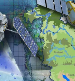
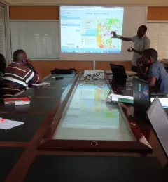
Through the Improving the Mekong River Commission's (MRC) Regional Flood Forecasting Service, SERVIR Mekong supported the MRC to use new-generation satellite-derived precipitation products to increase flood forecast accuracy.
The Monitoring Extreme Weather in the Hindu Kush Himalaya (HKH) service provides a customized numerical weather prediction toolkit to assess high impact convective weather events over the HKH region.
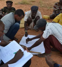
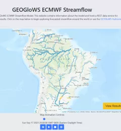
The Regional Stream Flow Monitoring and Forecasting Service was designed to provide real-time streamflow forecasts for several watersheds in East Africa and bias-corrected satellite precipitation products to enable the timely prediction and monitoring of extreme events.
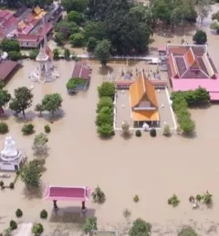
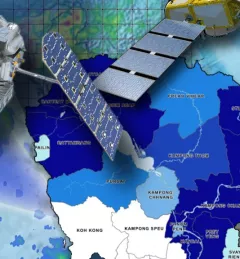
The Supporting Better Riverine and Flash Flood Forecasting for the Lower Mekong service improves riverine flood forecasts and enhances flash flood guidance monitoring in the region.
Through the Supporting Flood Emergency Preparedness for Myanmar Service, SERVIR Mekong co-developed and supported the use of a systematic decision-support tool for the Myanmar Department of Disaster Management to identify areas with high flood risk.