Weather & Climate Resilience
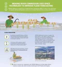
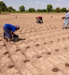
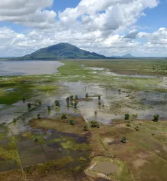
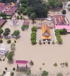
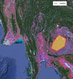
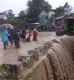
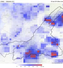
Flash Flood Vulnerability Mapping in West Africa
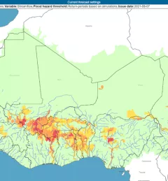
The Flash Flood Vulnerability Mapping service focuses on improving flash flood vulnerability mapping and early assessments of the potential socioeconomic impacts of anticipated floods.